MIQSARS
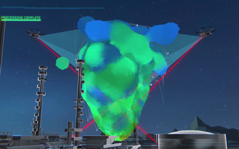
METHANE EMISSION DETECTION AND QUANTIFICATION INTELLIGENCE
At VOLTACH4, we are dedicated to pioneering the field of remote sensing intelligence for methane (CH4) emission detection and quantification. Our solutions are designed to implement responsible pollution monitoring practices, striving towards a cleaner, healthier environment for current and future generations.
Client: voltach4
Date: December 2025
Sector: CleanTech & AgriTech